
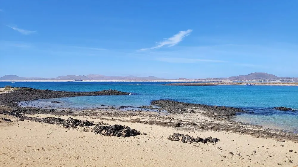
Free route map
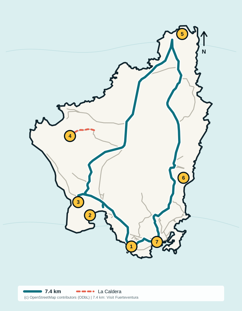
What the seven numbers mean
- Landing jetty: ferry arrival, departure and the fixed end point for every route.
- Playa de la Concha (La Calera): the most convenient sheltered beach stop from the jetty.
- Salinas del Marrajo: historic salt pans on the western side of the island.
- Montaña La Caldera: an optional out-and-back spur, separate from the low-elevation main circuit shown in teal.
- Martiño lighthouse: the northern turning point and the farthest numbered stop from the jetty.
- Las Lagunitas: tidal lagoons and a sensitive habitat; remain on the marked path.
- El Puertito: small fishing settlement and shallow water close to the southern return.
Choose a route by time ashore
| Time between ferries | Realistic map plan |
|---|---|
| 1–2 hours | Stay in the south. Choose La Concha or El Puertito and return with a generous boarding margin; do not start the full circuit. |
| About 3 hours | Use the three-hour plan: combine the southern landmarks or walk purposefully with only brief stops. |
| 4 hours or more | The full official circuit becomes practical for many walkers, with time for one short stop. Heat, wind, pace and path conditions still matter. |
Save it before boarding
The map is an SVG, so it stays sharp when zoomed and is small enough to save on a phone. Open or download it while you still have a reliable connection in Corralejo. A screenshot is also useful, but carry your booking details separately and treat signs on the island as authoritative.
Before choosing the long circuit, compare the wind and weather, bring the essentials in the Lobos checklist and confirm your return in the current ferry timetable.
Accuracy and sources
The island outline and path geometry are derived from current OpenStreetMap data. The 7.4 km distance, low difficulty and approximately two-hour estimate come from the official Visit Fuerteventura route page. The numbered map is an independent planning aid, not a navigation guarantee; protected-area instructions and temporary closures override it.
Visit Fuerteventura: official Islote of Lobos route
OpenStreetMap contributors and ODbL attribution
Share or embed this map
Travel writers, accommodation owners and local activity providers may link to this free planning map. Copy the attribution link below so readers can always reach the current version.